Mapping the Unseen
Before the Dutch masters claimed the southern sky, a nameless navigator charted the void using lapis lazuli and starlight.
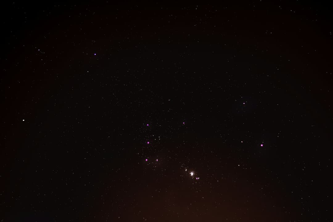
Recovered in 2024 from the wreckage of the Sovereign’s Wake, this collection represents a pivotal moment in the Early Modern transition from folklore to empirical navigation. The record consists of eight primary vellum sheets, meticulously prepared from calfskin to withstand the rigors of maritime travel. The documents are unique for their "Double-Layered Methodology": The Base Layer: A traditional maritime grid etched in iron-gall ink, showing the standard nautical paths of the late 16th century. The Over-Lay: Finer, more hurried markings in a rare lapis lazuli pigment that illustrate constellations entirely unknown to European astronomers of the period. Historians believe these charts were drafted by a "shadow navigator"—an undocumented scholar aboard the vessel—who utilized a primitive astrolabe to map the heavens while crossing the equator. The preservation of the ink is attributed to the airtight seal of a lead-lined sea chest, which protected the organic fibers from the corrosive effects of saltwater for over four hundred years. Unlike the official state-sanctioned maps of the era, these sheets contain marginalia written in a cryptic shorthand. These notes suggest that the navigator wasn't just mapping stars for direction, but was attempting to prove a controversial theory of celestial mechanics—specifically, that the Earth’s curvature could be measured by the shifting "parallaxes" of the Southern Cross.